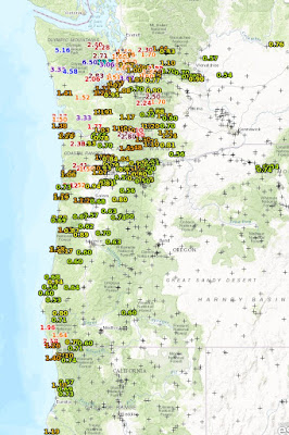
After a few day break, California is about to experience a period of very wet weather, with the potential for flooding and slope failures in southern California and threats to the Oroville dam in the north. For the 24h ending 8 PM Wednesday, the fire hose has been mainly directed to the Pacific Northwest, with some locations in the Olympics getting 5-7 inches of rain. But substantial rain (greater than 2 inches) extends into the Cascades and down the coast to northern CA.
Now it is California's turn. The U.S. GFS model forecast for the next 7 days is amazing, with portions of the Sierra Nevada near the Oroville dam getting 10-20
inches of rain. Very bad. And heavy precipitation will hit southern CA as well, where flood and slide warnings are now in effect (see NWS warning page)
The European Center model precipitation for the same period (shown below) has a similar solution, with as much as 7-9 inches over the Sierra Nevada.
But how much uncertainty is there in this forecast? For Chico, CA (near the Oroville dam at lower elevations), the European Center ensembles (many forecasts) are all on pretty much the same page. (each line in the upper panel \represents one forecast). One event starting tomorrow, with the heaviest precipitation on Friday. Then another event later Sunday and Monday.
The ensembles for Santa Barbara are also in agreement for a big event on Friday, with even heavier precipitation in the mountains.
This could well be the wettest storm of the year in southern California and damaging slides and floods are quite possible.


I-5 has gone missing again today near Woodland, a mudslide on the usual slopes took out the northbound lanes. Days like this make me think the infamous Next Bridge to cross the Columbia should be closer to Kalama or Kelso than Vancouver!
ReplyDeleteWe were looking for a good place to message you, but couldn't locate much, so doing so here. Just wanted to let you know we're now posting realtime MPAS output to http://hopwrf.info We currently have four 180 hr runs per day at fixed mesh "resolution" of 60 km, but will be changing that to use the variable resolution capability to increase it over the CONUS. And, will likely make that a twice per day run, and use the other two "cycles" to have 36 hour runs that include a convection allowing variable resolution over the Midwest.
ReplyDelete