Will Have an Update at 8 AM Sunday
The new European Model forecast shows more snow in our future (see below)--nearly a foot in the south Sound to a half-foot around Everett between now and Monday afternoon. If true, this would be the biggest snowfall in several years for our area.
But as I say so many times you must be sick of it, the above is only one forecast and there is still some uncertainty in the forecast. To get a handle on that uncertainty, here is the last GEFS ensemble snow forecasts (21 model forecasts in all) for Seattle. A substantial range (1-10 inches), with the mean of the ensemble around 4-5 inches. EVERY member has snow. That gets my attention.
Folks...this is rapidly getting more serious as the models are indicating a higher probability of more snow. The serious accumulations will begin after dinnertime on Sunday.
This blog discusses current weather, weather prediction, climate issues, and current events
Subscribe to:
Post Comments (Atom)
A Good Chance of Seeing an Aurora Tonight over Northern Washington State
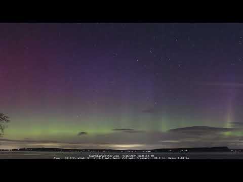
A moderate solar storm provides the potential for an aurora extending southward into Washington State tonight and tomorrow night. In fact, q...

-
Mother Nature seems to have forgotten about the current strong El Nino and the record warmth of the past month. Massive snow will fall over ...
-
Update Tonight On the Arctic Air Entering Our Region and Localized Areas of Snow __________________________ The buzz is up regarding the pot...


What is Portlands forcasted look like?
ReplyDeletePlease please come true! :)
ReplyDeleteI really appreciate access to the GFS model runs on the UW atmospheric sciences website.
ReplyDeleteIs it possible for the public to get access to the European ECMWF models as well?
I'm not sure I can tell the difference between 2" of snow and 23" of snow on that color scale!
ReplyDeleteIf this really comes, it could be a wet, heavy snow and that can mean a lot of damage. I can remember some of these 34 degree snows collapsing roofs. Hang on, we will see if this amounts to anything.
ReplyDeleteHello How does the dew point have an affect as to whether or not it'll be snow or rain. JB.
ReplyDeleteSticking to the ground in Crown Hill. Roads and sidewalks still bare and wet. Still borderline on temps, very wet snow.
ReplyDelete